SRA Annual Report 2024-25: Dredging and silt monitoring
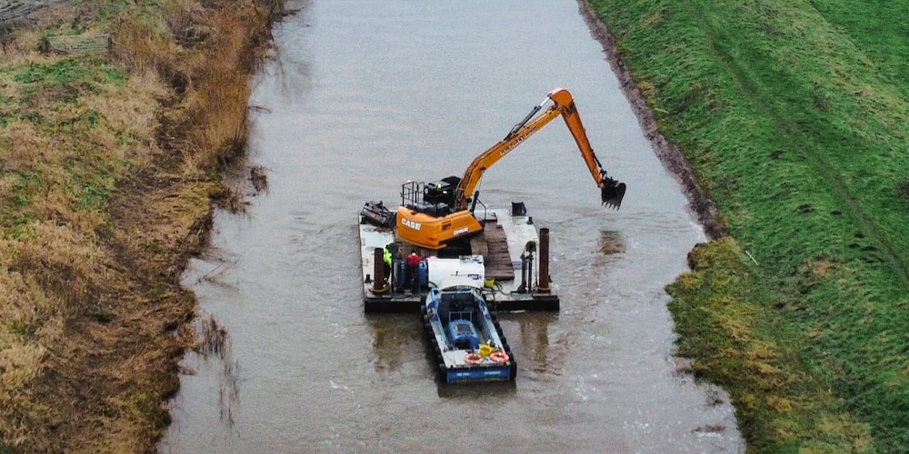
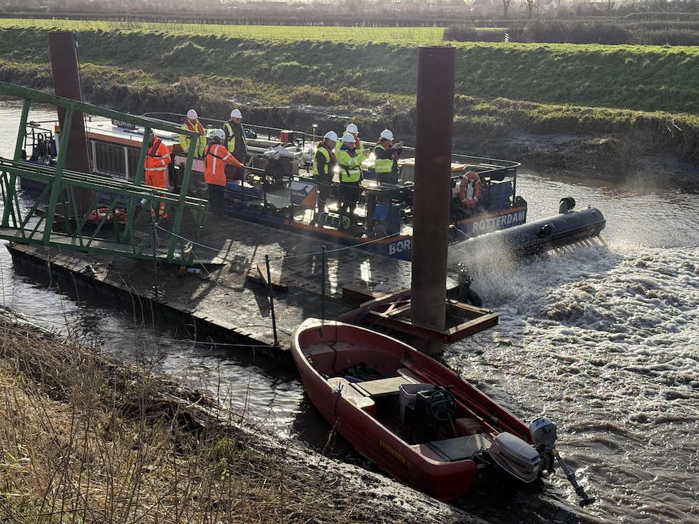
In January 2025, 4 kilometres (2.5 miles) of the River Parrett between Burrowbridge and Northmoor Pumping Station was dredged with a Water Injection Dredging (WID) vessel and an excavator mounted on a floating platform in the river.
These watercraft and their crews worked together to remove around 23,655 cubic metres of silt and dense vegetation from the banks of the river (enough to cover all 5.83 acres of Somerset Cricket Club’s County Ground with a 1-metre depth of silt).
This innovative combination of activities was organised for the SRA by the Parrett Internal Drainage Board (IDB), working with SRA partners and contractors Van Oord and WM Longreach, following on from a successful trial with the same participants in January 2024.
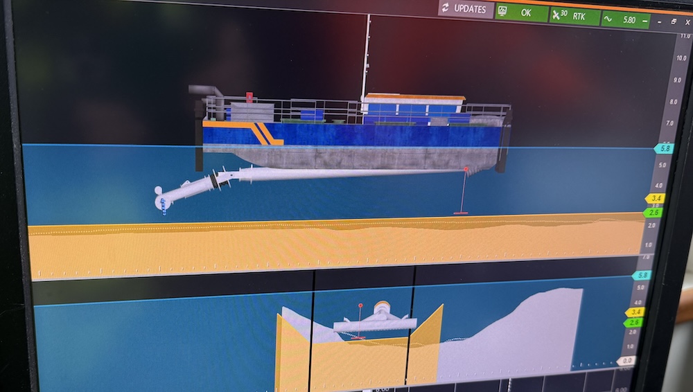
The method developed is that the excavator scoops accumulated sediments and plants from the so-called ‘shoulder’ of the river, then it drops them down into the central part of the channel. Along that channel, the WID vessel uses powerful jets of water to agitate and disperse the materials placed in its path, so they get washed out on the outgoing tide.
This combined dredging is done because the Parrett gets vast amounts of sediments coming in from the sea. (The Parrett has the second highest tidal range in the world). Massive quantities of sediments also get washed down through the Parrett’s catchment, which covers nearly half of Somerset (including the River Tone which joins the Parrett near Burrowbridge).
As these sediments gradually get stuck in bankside vegetation, they clot and strengthen, and get harder to erode. This mudding-up reduces the Parrett’s cross-sectional area and its effectiveness as a flood channel evacuating water.
Combined dredging helps to get the river back much closer to the profile that was achieved in the major £6million dredge of 2014. This reduces flood risks for people, properties, roads and land, particularly in the area around Moorland which was so badly hit in 2014.
Dredging is done in combination with a programme of silt monitoring twice a year since 2015. SRA partners have amassed a detailed panoramic picture of how sediments come, go and tend to stick around in the tidal section of the Parrett between Burrowbridge and the M5 bridge. Thus trends can be observed and target areas selected.