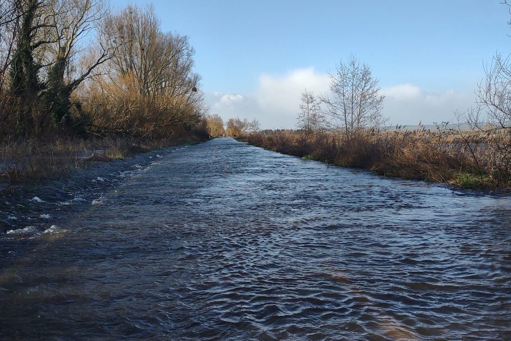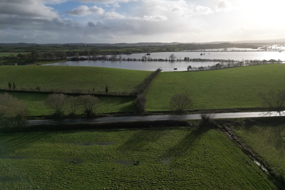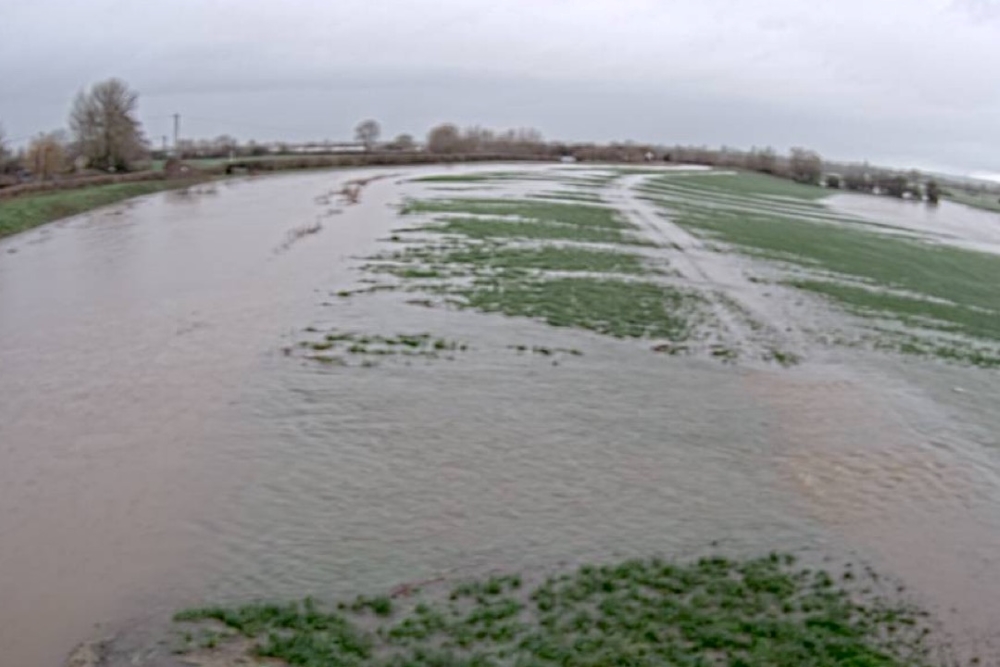
“A lot of activity”: Somerset Levels & Moors flood briefing 13 January 2023
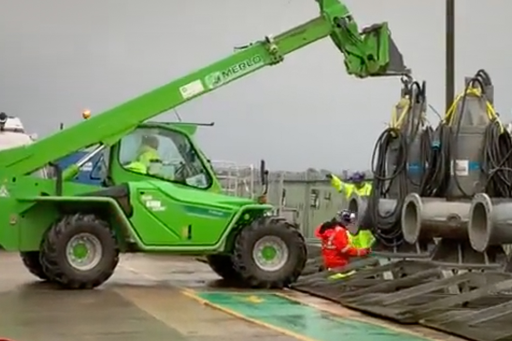
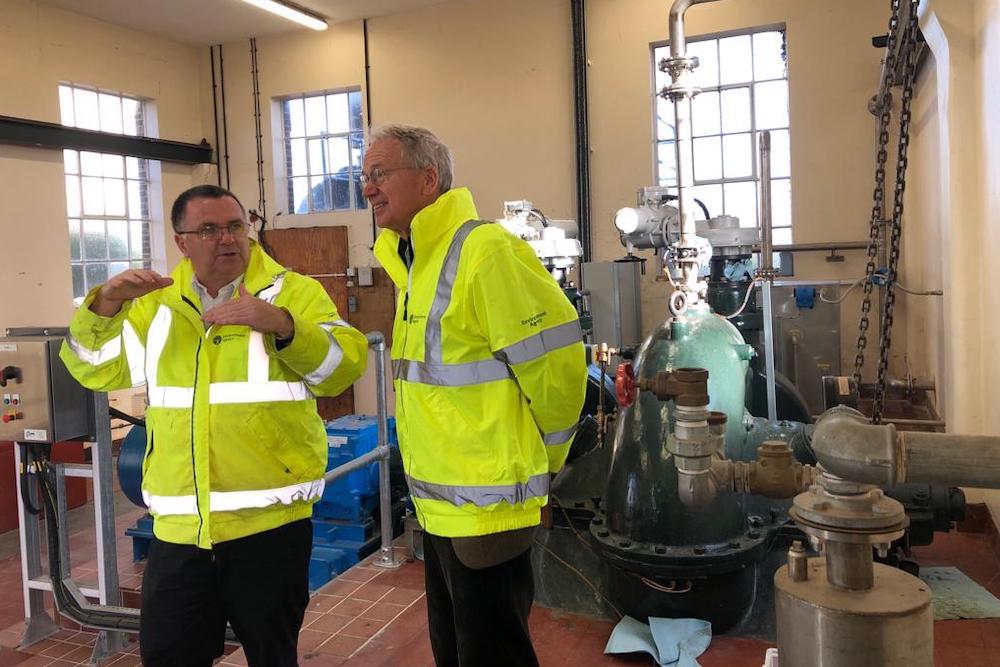
The latest briefing from Environment Agency Wessex about activity coming up at Northmoor pumping station, Currymoor and Dunball to reduce flood risks. Over the weekend, there will be a lot of activity at Northmoor pumping station while equipment is brought to site. On Monday it is planned to install a crane, providing wind speeds are low enough to do this safely. Preparations are also being made to install pumps at Currymoor and Dunball.